Historical GIS of the Wanli Huijiang Tu
DIGITAL HUMANITIES · QING CARTOGRAPHY
Project Lead: Ling-Wei Kung, in collaboration with Hsiung-Ming Liao
Center for GIS, Research Center for Humanities and Social Sciences, Academia Sinica
Explore Suningga’s eighteenth-century map of Xinjiang through the original manuscript, historical research, and an interactive geographic information system.
Explore the GIS → Read the article (PDF) →
The map and its historical context
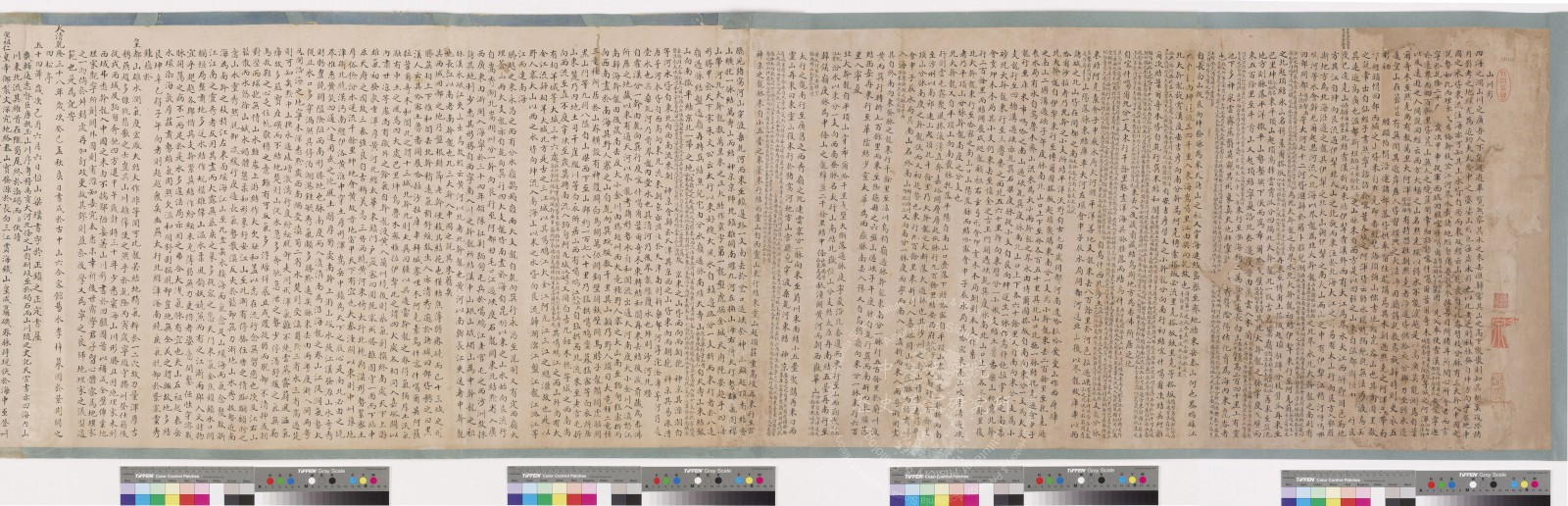
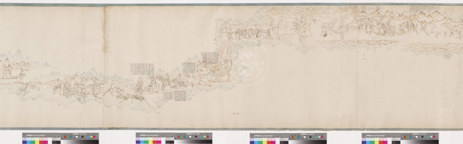
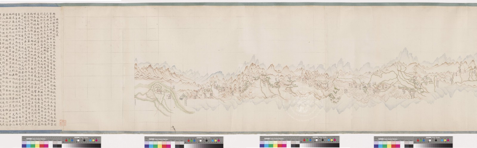
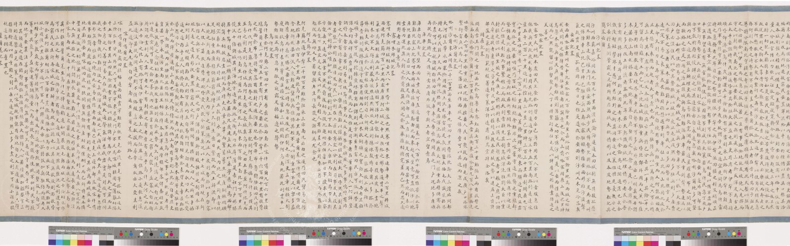
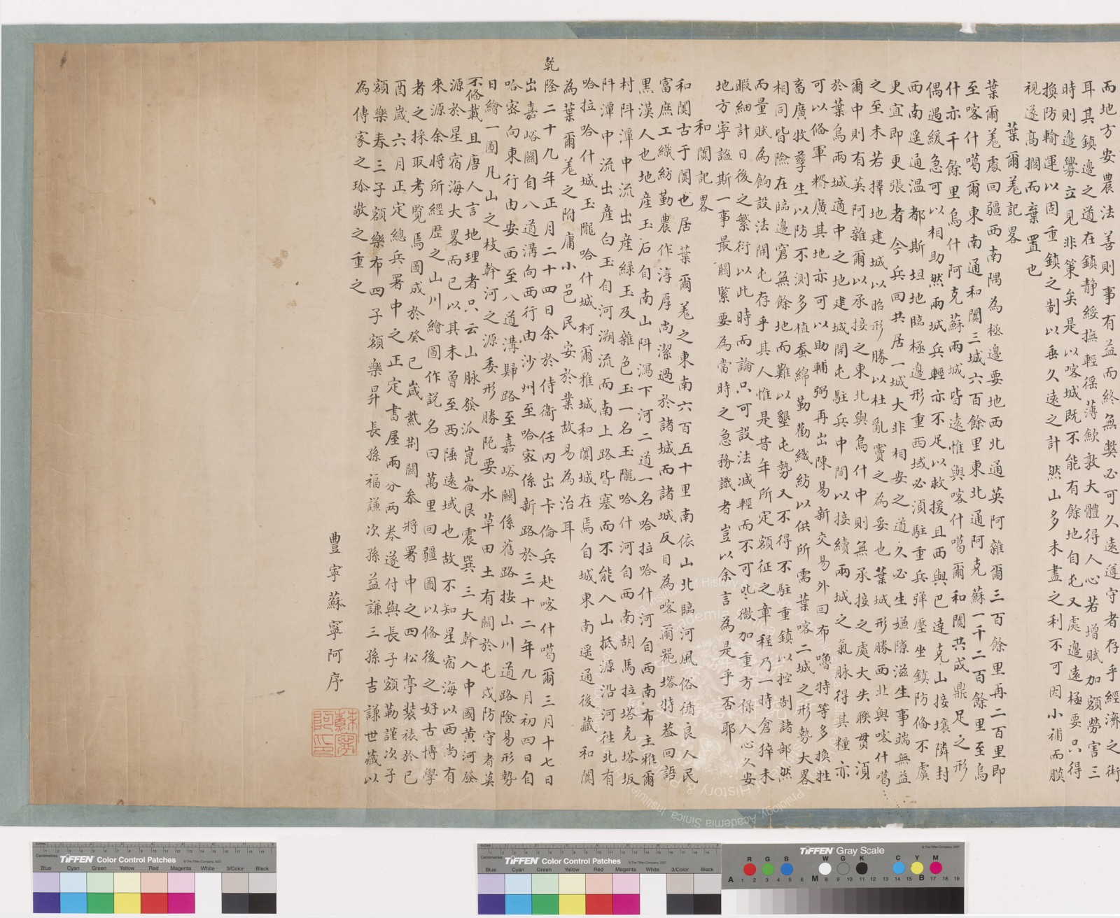
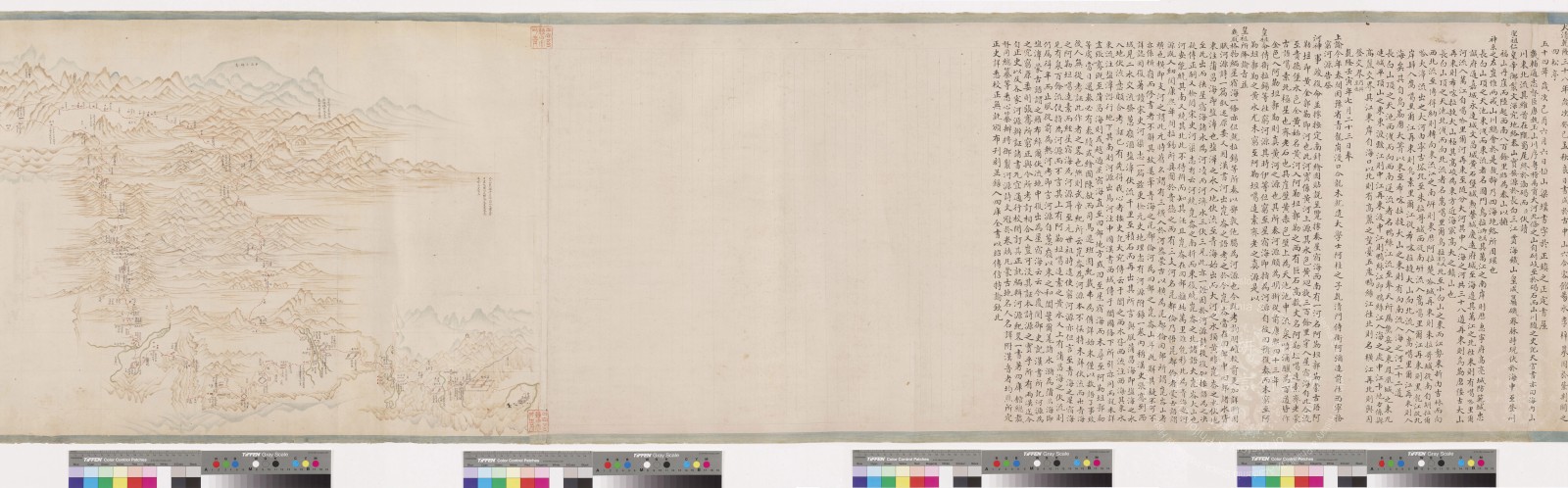
Made in 1773 by the Qing Mongol banner officer Suningga (1731–1805), the Wanli Huijiang Tu combines painted landscapes with extensive written commentary. Drawing on his military experience in Xinjiang during the 1760s, it records terrain, settlements, and infrastructure after the Qing conquest of the Zunghars. Its preface and postscript also reveal exchanges among Chinese geomancy, Qing geographical scholarship, and Central Asian Islamic knowledge. Article abstract →
Research behind the GIS
My 2023 article compares the map and its texts with Manchu and Chinese records to examine geographical knowledge and the making of Xinjiang’s landscapes. It includes color plates, annotated transcriptions, and a GIS reconstruction of southern Xinjiang’s transport routes. This project brings that historical interpretation into a spatial setting for exploration.
Ling-Wei Kung, “Suningga’s Wanli Huijiang Tu and Qing Geographic Knowledge of Xinjiang in the Late Eighteenth Century,” Bulletin of the Institute of History and Philology, Academia Sinica 94, no. 3 (September 2023): 573–651. [In Chinese]
Download the full article (PDF) →
Explore the historical GIS
The GIS allows visitors to compare the Wanli Huijiang Tu layer with Qing historical maps, the 1:500,000 Hexi and Xinjiang atlas, and Ming postal stations and routes. Turn individual layers on or off and adjust their opacity to examine correspondences and differences. Read these comparisons alongside the original image and the article’s source analysis.
Open the GIS in a full browser window →
View the original manuscript
The original is held by the Fu Ssu-nien Library (collection identifier: M 909.22 0146). Open Museum provides six digital scans, including the map and accompanying texts. Select a scan below to examine it in the museum’s zoomable viewer.
Show all six original scans